
Twenty-three billion-dollar weather and climate disasters struck the United States in 2025, arriving on average 10 days apart. Those events claimed 276 lives and caused $115 billion in damage. No response plan written a generation ago anticipated a pace like this.
Detection technology has already answered part of that pressure. Cities around the world run AI on camera feeds and sensor networks that flag smoke, floodwater, and structural failure long before a resident thinks to call 911. That progress laid the foundation. The harder work now is what happens in the minutes after the alert.
The same platforms can compress those minutes. Two capabilities drive that shift: intelligence from cameras fixed to the ground, and intelligence from aircraft that reach the places no camera can see. Together they erase the blind spots that have constrained emergency response since the first fire bell rang.
The Cost of the Minutes After the Alert
Conventional response absorbs delays at every step. Dispatch relays a description assembled from a caller under stress; crews suit up, roll out, and fight the same congestion that slows everyone else. Each crew forms its picture of the scene on arrival, which leaves the first decisions of an incident resting on the thinnest information anyone will hold all day.
Those delays carry a cost that detection alone cannot touch. A fire that a camera catches in minute one and a crew reaches in minute forty still burns for thirty-nine minutes. Detection marks the earliest moment a city can act, and everything after depends on how fast help travels, what that help carries, and how much responders understand before they arrive.
Eyes on the Ground, Eyes in the Sky
Fixed cameras hold constant watch over the places a city already worries about: intersections, transit platforms, water facilities, substations, and school entrances stay under observation every second of every day at almost no marginal cost. AI turns each of those feeds into a sensor that recognizes smoke, water where none belongs, a crowd that compresses toward a choke point, or a vehicle that stops where it shouldn’t.
Those cameras share one limitation: they see only what’s in front of them. A camera at an intersection cannot follow floodwater three blocks east to find which subdivision took the worst of it, and it cannot tilt up to show a commander the roof that has started to sag. Fixed networks carry blind spots, and disasters gravitate toward exactly those places.
Aircraft covers what fixed cameras can’t. An unmanned aerial system moves to any point in a city without a road, holds position above an incident, and streams what it sees straight to command. From altitude it shows which of the three evacuation routes debris has already closed, while crews still stage two miles back. Pair persistent ground-level vision with aerial reach and a city sees an emergency whole for the first time.
What Commanders Do With the Aerial View
A commander who watches live aerial video before committing resources sizes the response to the incident rather than to the description. That shift converts a guess into a decision.
Consider a hillside camera that flags a smoke column at 2 a.m. The coordinates hand off to an aircraft that maps the perimeter and the wind-driven edge before the first engine clears the station. The commander stages equipment along the path the fire will travel, routes crews around the roads it will cross, and calls the evacuation order for one neighborhood forty minutes sooner than a windshield survey would allow. The same sequence runs on floodwater, on collisions, on hazardous-material releases; only the sensor that starts it changes.
Endurance Decides Whether Aircraft Help
Aerial intelligence helps only while the aircraft stays in the air. Most battery-powered drones come down inside an hour, and a heavier sensor package cuts that shorter still, which forces agencies to choose between what the aircraft sees and how long it sees anything at all. Fires, searches, floods, and storm response run far longer, and no one can predict when they will end. An aircraft that lands every thirty minutes for a battery swap hands the incident back to the blind spots it flew out to erase.
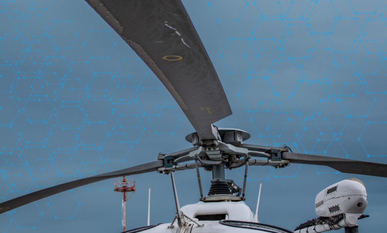
Longer-endurance platforms remove that tradeoff. Helicopter-form unmanned systems, some gas-powered, hold station for more than two hours through the high winds, open water, and remote terrain where multi-rotor aircraft struggle.
Early Arrival, Early Support, Early Rescue
An aircraft with a camera changes what responders know. Give that aircraft payload capacity and it changes what people on the ground receive. Rescue equipment reaches a stranded family before a boat can launch, medical supplies reach a wilderness search team miles from the nearest road, and a communications relay restores contact when a storm took the towers down.
Disasters often break the systems that response depends on. Roads close, power fails, and cell networks go dark, at the moment coordination is most critical. An aircraft that flies above the damage and carries its own encrypted link restores the sight and the communication every response needs.
Early detection tells a city that something happened. Early arrival puts eyes on it. Early support delivers what the scene demands. Early rescue reaches the person who needs it, and every step depends on the one before.
Cities Already Own the Foundation
Municipal leaders hear “AI and drones” and picture a capital project with a nine-figure price tag. The real entry point sits far lower. Most cities already run camera networks across their intersections, buildings, and facilities. Modern analytics layered onto those feeds turn installed hardware into a detection grid without adding a single new pole.
Over the past two years, more than 1,000 U.S. public safety agencies secured the waivers needed to automate drone operations. Aerial capability scales the same way. Agencies add launch sites, widen coverage, and expand their mission set across budget cycles as they build experience and public trust.
None of this asks a city to rebuild. It asks a city to draw more from what it already owns.
The Number That Defines the Next Decade
The smart city conversation spent a decade on detection because detection came first and proved easiest to fund (not to mention, a dashboard that counts incidents makes a clean budget slide). The next decade will judge cities on a harder number: the minutes between the alert and the help, because every one of those minutes carries a cost in acres, in property, and in people.
The technology to compress that interval has arrived. Every city now decides how fast it closes the gap