
From Construction Sites to Property Sites: 3D Scanning Solutions with Advanced SLAM & LiDAR
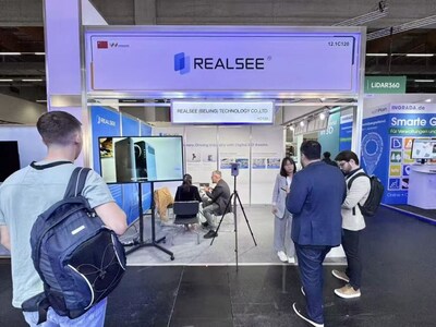
BEIJING, Oct. 10, 2025 /PRNewswire/ — Realsee – a pioneer in integrated digital space solutions – debuted at INTERGEO 2025 in Frankfurt, Germany from October 7 to 9.

There, Realsee showcased independently developed 3D reconstruction and surveying application solutions, with two core products highlighted: Poincare Handheld 3D Laser Scanner and Galois M2 3D LiDAR Camera.
Poincare delivers a comprehensive and efficient workflow, capable of scanning a 1,000 ft² space in just 4 minutes. It features real-time mapping and generates a real-time colorized point cloud compatible formats like E57 and PLY. It automatically generate CAD drawings in 15 mins, streamlining the entire process from capture to deliverable for the AEC industry.
Professional-grade capture device Galois M2 3D LiDAR Camera shows a precise and automated solution for professional 3D reconstruction. It delivers 134MP 3D virtual tour and enables a fully automated workflow from capture to the generation of diverse deliverables like immersive 3D tours, high-resolution photos, point cloud, 3D models and floor plans. Supported by AI-powered tools for effortless 3D tour editing, it effectively meets the evolving needs of global professionals for intelligent digital operations.
Galois M2 has a very wide range of applicable in space-related scenarios such as commercial spaces 3D reconstruction, large-scale reconstruction, design and construction management, property marketing.
Currently, Realsee has delivered digital spatial solutions to over 3,000 brands across 53 countries and regions worldwide. Realsee has now launched official collaborations with B&H and Adoroma.
For more information about Realsee, please visit either of these two platforms or the official website at https://home.realsee.ai/en/home.
About Realsee
As a leading tech company providing digital space integrated solutions, Realsee has built the world’s largest 3D spatial database by replicating physical spaces, covering over 50 million spaces and boasting over 600 global authorized patents.
Realsee offers digital solutions for your space, spanning from its design and construction stage, to online marketing and visual operation.
Trust Realsee to elevate your real estate transactions, commercial retail, industrial facilities, cultural exhibitions, public affairs, and home decor to the next level.
![]() View original content to download multimedia:https://www.prnewswire.com/news-releases/realsee-showcases-3d-reconstruction-and-surveying-solution-at-intergeo-2025-302580707.html
View original content to download multimedia:https://www.prnewswire.com/news-releases/realsee-showcases-3d-reconstruction-and-surveying-solution-at-intergeo-2025-302580707.html
SOURCE Beike Realsee Technology (HK) Limited
