For years, boaters viewed marine GPS units and chartplotters as separate tools with clearly defined roles. GPS devices were often associated with basic positioning and route guidance, while chartplotters were seen as the more advanced option for detailed navigation. As technology has evolved, that clear line has blurred, changing how boaters think about navigation choices today.
Modern boating now relies on digital tools that are more powerful, flexible, and accessible than ever before. Mobile devices, cloud data, and real time updates have reshaped what navigation systems can do and how boaters use them on the water.
This evolution has reshaped the marine GPS vs Chartplotter conversation. What was once a hardware-based decision is now more about features, usability, and how well a tool fits modern boating habits.
How navigation tools used to differ
Traditionally, marine GPS units focused on showing a boat’s position, heading, and speed. They were useful but limited, often displaying minimal chart detail and offering basic route functions.
Chartplotters, on the other hand, were dedicated onboard systems with larger screens, detailed charts, and integration with other electronics. They were powerful but expensive, permanently installed, and closely tied to specific hardware.
For a long time, the choice was straightforward. Casual boaters leaned toward GPS, while serious cruisers and offshore boaters invested in chartplotters.
The rise of app-based navigation
The biggest shift in the debate came with the rise of mobile technology. Smartphones and tablets now have powerful processors, high resolution displays, and reliable GPS capabilities. Combined with navigation apps, they offer features that once required dedicated hardware.
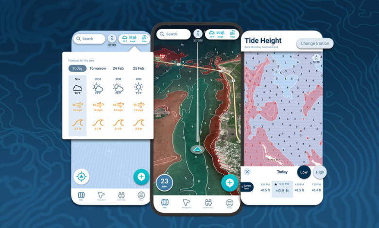
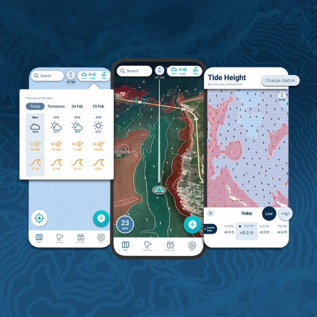
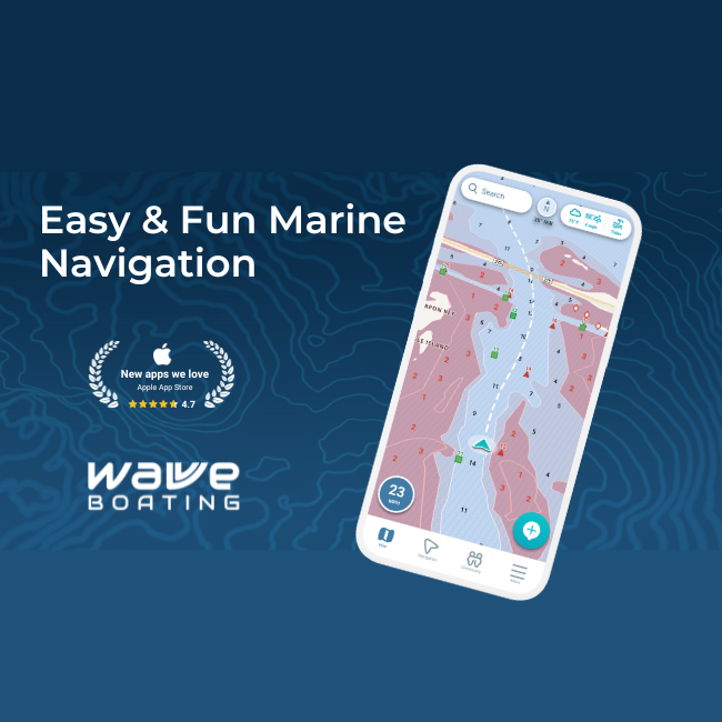
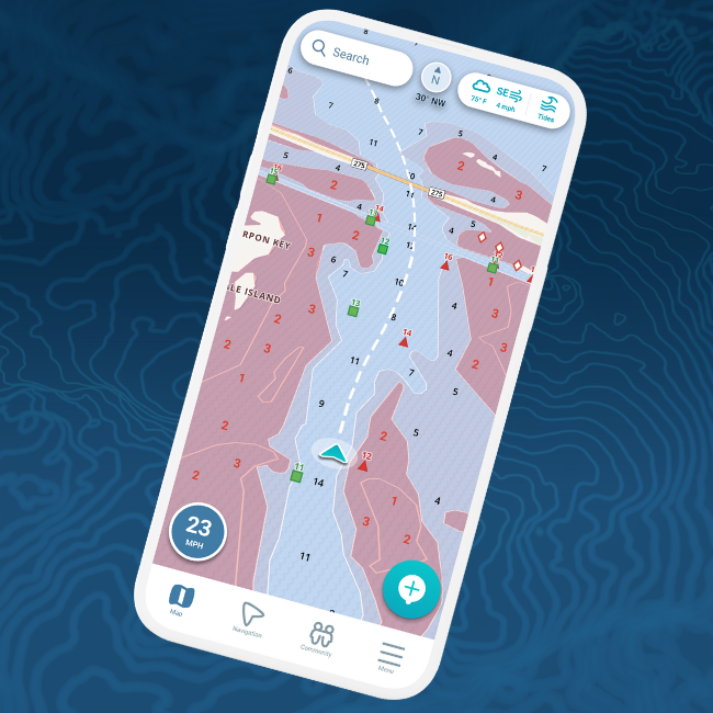
Modern marine GPS apps provide detailed charts, route planning, real time data, and offline access. This has closed much of the gap that once separated GPS from chartplotters, especially for everyday boating.
As a result, many boaters now rely on mobile devices as primary or backup navigation tools.
Real time data has changed expectations
Another major factor reshaping navigation is access to real time information. Older systems relied heavily on static chart data, which could become outdated as waterways changed.
Today’s navigation tools often integrate live data such as weather, water levels, and environmental conditions. This information supports smarter decisions and reduces reliance on assumptions.
Both modern GPS apps and chartplotters now offer real time insights, making the distinction between them less about capability and more about form factor and integration.
Flexibility versus fixed installations
One of the key differences that remains is flexibility. App-based GPS solutions travel with the boater, not the boat. This appeals to people who use multiple vessels, rent boats, or want to plan trips at home.
Chartplotters still offer advantages in durability, screen size, and seamless integration with onboard systems. For some boaters, especially those running larger vessels or spending long hours offshore, these features remain valuable.
However, the convenience and portability of modern GPS apps have shifted the balance for many users.
Easier planning and everyday use
Navigation technology has also improved usability. Planning routes, reviewing charts, and checking conditions can now be done before leaving the dock. This was once far more limited or cumbersome with traditional systems.
Many boaters appreciate tools that support planning on land and navigation on the water using the same interface. This continuity simplifies trips and reduces learning curves.
Cost and accessibility considerations
Cost has always influenced navigation choices. Chartplotters involve higher upfront investment and installation. App-based GPS solutions are generally more accessible and allow boaters to pay for features gradually.
As technology has advanced, affordable options now offer capabilities that once required premium hardware. This has opened advanced navigation to a wider range of boaters.
How boaters are choosing today
Rather than choosing one tool exclusively, many boaters now use a combination. Chartplotters remain popular for primary navigation, while GPS apps serve as planning tools or backups.
The debate is no longer about which tool is better in absolute terms. It is about how each fits into a modern boating setup.
A changing debate shaped by technology
Navigation technology has transformed how boaters think about marine GPS and chartplotters. What once felt like a strict choice has become a spectrum of options shaped by personal needs, boating style, and comfort with technology.
As tools continue to evolve, the focus shifts away from hardware labels and toward practical outcomes. Safer navigation, better planning, and clearer information matter more than the device itself.
Understanding how technology has changed the marine GPS vs chartplotter debate helps boaters make informed decisions that match how they actually boat today.