
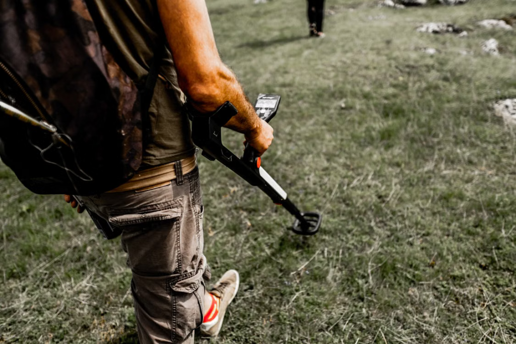
A modern metal detector can do more than produce a tone when its search coil passes over an object. Advanced models analyze target conductivity, estimated depth, ground conditions, and signal stability to help users decide whether a target deserves further investigation.
Metal detectors are only one part of the broader technology covered here. Modern detection equipment also includes ground-penetrating radar systems for subsurface mapping, drone-mounted sensors for field surveys, and imaging platforms for infrastructure inspection.
How Modern Detection Equipment Has Become Smarter
Different detection systems collect different types of information. For instance, metal detectors respond to conductive or magnetic materials, while ground-penetrating radar uses reflected electromagnetic waves to reveal changes beneath a surface.
Artificial intelligence helps these systems interpret the information they collect. Instead of presenting every reading as an isolated event, AI-supported software can compare signal shape, strength, consistency, location, and surrounding conditions.
Several capabilities are driving the change:
- Machine learning can separate useful patterns from background noise
- Sensor fusion can compare readings from complementary technologies
- On-device processing can provide results without an internet connection
Smart sensors are also becoming more independent. Intelligent sensors may support signal conditioning, AI-based data processing, self-testing, time synchronization, and network communication.
How AI Improves Metal Detector Target Analysis
False signals are a common frustration for metal detector users. Mineralized soil, saltwater, hot rocks, nearby power sources, and poor coil control can create responses that resemble buried metal.
AI-assisted metal detectors can examine patterns across repeated sweeps. A response that remains consistent from different directions may receive a different target classification from a weak or irregular signal caused by changing ground conditions.
A 2024 study indexed by the Korean Citation Index tested an on-device AI system for drone-operated metal detection. Researchers processed 20 million data sequences and reported 94.5% accuracy with an inference time of 9.8 milliseconds.
For detector users, those figures show the potential speed of AI-based signal analysis. Processing completed in milliseconds could allow a drone-mounted detector or future handheld model to classify a reading as soon as the sensor captures it.
However, even the most advanced AI features cannot compensate for using the wrong detector in the wrong environment. Performance varies depending on factors such as target type, soil mineralization, operating frequency, waterproofing requirements, and search location. A detector designed for gold prospecting may not be the best choice for coin hunting, beach detecting, or relic recovery.
Because of these differences, users often need to compare features, technologies, and performance capabilities before investing in equipment. For those researching metal detectors for sale, the Serious Detecting collection allows users to compare beginner, hobbyist, and professional models from leading manufacturers for coin hunting, relic hunting, beach detecting, gold prospecting, and other detecting applications, making it easier to select equipment that matches their goals, experience level, and budget.
Advanced Sensors Reveal Different Types of Targets
Artificial intelligence cannot compensate for poor measurements. Researchers and manufacturers are therefore improving the physical sensors that gather information before software begins interpreting it.
Search coils, magneto-impedance sensors, millimeter-wave radar, ground-penetrating radar, cameras, and LiDAR units detect different target properties.
Selecting the right sensor depends on whether the operator is searching for metal, underground structures, surface damage, or changes within a material.
Sensor Fusion Builds a Clearer Picture
Sensor fusion combines information from two or more detection technologies. A single sensor might locate an anomaly without providing enough detail to identify its likely cause.
A field-survey platform could combine radar data with camera images and precise location records. An infrastructure-inspection platform might compare visual images, thermal readings, and vibration measurements to distinguish structural damage from harmless surface variations.
On-Device Processing Speeds Up Decisions
Edge AI analyzes data directly on a metal detector, drone, robot, or inspection unit. Remote field teams can receive useful results even when cellular coverage or internet access is unavailable.
Local processing also reduces the amount of raw data that must be transmitted or stored. Software can flag important readings first, allowing operators to focus on targets or defects that warrant closer examination.
Ground-Penetrating Radar Changes Subsurface Exploration
Ground-penetrating radar is not a conventional metal detector. A GPR system transmits electromagnetic waves into the ground and records reflections caused by changes in materials, soil layers, voids, pipes, walls, and other buried features.
AI can help clean up radar data and recognize patterns within the resulting scans. Archaeologists may use those patterns to examine possible foundations, graves, pathways, or disturbed soil before deciding where excavation is justified.
Research published by Springer Nature explores reinforcement learning for guiding a GPR-equipped platform. The hybrid search method located all buried targets in the reported comparison, while a conventional low-resolution path detected fewer than 60% in most layouts.
For field teams, the comparison shows how intelligent navigation may improve more than target classification. A GPR-equipped drone or ground vehicle could conduct a broad survey, recognize a promising reflection, and change direction to gather a more complete scan.
Inspection Sensors Find Structural Problems
Infrastructure inspection requires a different set of detection tools. Cameras, laser scanners, thermal sensors, vibration monitors, and non-contact impedance sensors can help teams examine bridges, roads, pipelines, tunnels, and concrete structures.
AI-supported imaging systems can look for cracks, corrosion, deformation, moisture, or other signs of deterioration. Automated analysis may also measure defects consistently, compare new readings with earlier inspections, and prioritize areas for human review.
Sensor-equipped drones and robots can reach locations that are difficult or unsafe for inspectors. A drone camera might document a bridge surface, while a magnetic inspection robot could travel along ferromagnetic infrastructure and record possible defects.
Human review remains essential because a detected anomaly does not always indicate serious damage. Engineers must consider the structure, materials, operating conditions, inspection history, and consequences of a missed defect.
Terrain and Conditions Still Affect Results
Every detection technology has environmental limits. Mineralized ground can challenge a metal detector, wet clay may restrict GPR performance, and poor lighting can reduce the quality of camera-based inspections.
Training data creates another limitation for AI. A model trained on clean signals or controlled test sites may struggle with unfamiliar soil, unusual target shapes, closely spaced objects, or unexpected structural materials.
Operators should treat AI classifications as informed guidance rather than guaranteed identification. Metal detector users can rescan from another direction, while GPR technicians and infrastructure inspectors may compare results with another sensor or inspection method.
Also, manufacturers should provide understandable confidence indicators and adjustable settings. Clear feedback helps an operator recognize when a classification is reliable and when professional judgment should take priority.
Choosing Modern Detection Equipment for Better Results
Modern detection equipment covers several distinct technologies, including metal detectors, ground-penetrating radar units, drone-mounted survey sensors, and infrastructure-inspection platforms. AI makes each system more useful.
How? By improving areas like signal analysis, pattern recognition, navigation, and data organization. Strong results still depend on selecting the right technology for the target and environment, though.
Has this article been helpful? If so, be sure to check out some of our other insightful posts!