Construction projects today face unprecedented challenges that would’ve seemed impossible just a decade ago. The construction industry will need to attract an estimated 546,000 additional workers, a figure that is expected to continue growing.
This shortage isn’t just about numbers on paper; it’s affecting real projects, real deadlines, and real budgets. Traditional monitoring methods that relied heavily on manual inspections and ground-based surveys simply can’t keep pace with modern demands. That’s where aerial technology steps in, offering a solution that’s both practical and revolutionary.
The Evolution of Construction Monitoring
The way we track construction progress has changed dramatically over the past few years. What once required teams of surveyors spending weeks on-site can now be accomplished in hours.
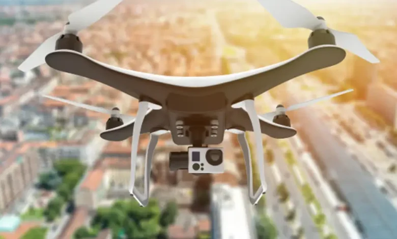
Ground-based monitoring used to be the gold standard, but it came with serious limitations. Surveyors needed extensive time on-site, often facing safety risks and weather delays. Construction drone monitoring has transformed this entire process, allowing teams to capture comprehensive site data without putting personnel at risk. The shift isn’t just about working faster; it’s about working smarter, with greater precision and safety at every stage. Where traditional methods might miss critical details or require multiple site visits, aerial technology provides a bird’s-eye view that captures everything in a single flight.
For companies looking to harness this innovation to its fullest potential, FEDS Drone-Powered Solutions delivers the advanced tools and expertise needed to track every milestone with unmatched precision.
Why Timing Matters in Construction
Every construction project operates on tight schedules, and delays cascade quickly through the entire timeline. Construction project milestones become much easier to track when you can see the whole site at once, identifying potential issues before they become costly problems.
Modern projects can’t afford the luxury of waiting days or weeks for survey results. Real-time data collection means decisions can be made immediately, keeping projects moving forward without unnecessary delays.
Benefits of Drone Monitoring in Construction
But beyond speed and visibility, aerial monitoring is changing how teams manage entire projects, from planning to execution.
 Real-Time Progress Tracking
Drone monitoring offers what traditional methods rarely can: immediate, comprehensive visibility into every stage of construction. Teams can now document progress daily or even hourly if needed, creating a detailed record of how work unfolds.
This continuous monitoring helps identify discrepancies between planned and actual progress almost instantly. Instead of discovering problems weeks later during scheduled inspections, project managers can spot issues while they’re still easy to fix.
Enhanced Safety and Accuracy
Safety improvements might be the most compelling benefit of all. Construction site drones eliminate the need for workers to access dangerous areas for routine inspections. High-risk zones like unstable ground, tall structures, or areas with heavy machinery can be monitored safely from above.
The accuracy of aerial data collection often exceeds traditional methods, too. High-resolution cameras and advanced sensors capture details that might be missed during ground-based inspections, providing a more complete picture of site conditions.
Drone Data Analytics: Turning Aerial Footage into Actionable Insights
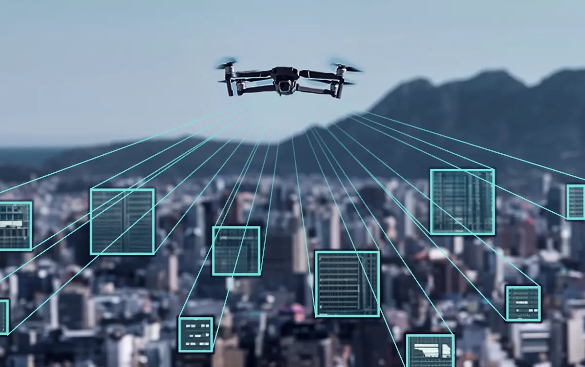
Capturing aerial footage is only part of the equation; what truly unlocks the potential of drone monitoring is the ability to interpret and act on the data. Advanced analytics platforms now make it possible to convert high-resolution drone imagery into precise 3D models, volumetric measurements, and predictive insights that drive smarter construction decisions.
One of the most powerful applications is progress mapping. By comparing current aerial scans with project blueprints or previous flight data, teams can measure how much material has been moved, what structures have been completed, and where deviations from plans are occurring. This level of visibility helps stakeholders stay aligned and makes it easier to anticipate delays before they escalate.
In addition to progress tracking, drone data analytics enhance resource management. With precise site maps and real-time data, project managers can optimise the placement of materials, machinery, and workers, reducing idle time and improving operational flow. Even risk management improves, as anomalies or safety hazards spotted in drone footage can trigger immediate alerts and interventions.
As machine learning advances, these systems are getting better at spotting trends, learning from past projects to improve the next. This opens the door to predictive maintenance, smarter scheduling, and even automated reporting. For forward-thinking construction teams, drone data isn’t just about oversight, it’s a competitive advantage in delivering safer, faster, and more accurate builds.
Key Applications Throughout Construction Phases
Different construction phases benefit from aerial monitoring in unique ways, making it valuable from groundbreaking to final handover.
Foundation and Early Stages
Early construction phases set the tone for everything that follows. Aerial construction surveys during foundation work help verify excavation depths, check grade levels, and ensure proper site preparation before concrete pours begin.
These early flights create baseline documentation that becomes invaluable later in the project. When questions arise about original site conditions or foundation placement, the aerial record provides clear answers.
Structural Development
As buildings take shape, monitoring becomes more complex. Multiple trades work simultaneously, and coordination becomes critical. Aerial views help track the installation of structural elements, ensuring they align with architectural plans.
Regular flights during this phase help document the sequence of construction activities, creating a visual timeline that’s useful for both project management and future reference.
Finishing and Final Inspections
Near project completion, aerial monitoring helps verify that exterior work meets specifications. From roofing details to final landscaping, drones capture a clean, high-level view, ideal for quality checks and final sign-offs.
Final aerial surveys also create valuable as-built documentation, providing property owners with detailed records of their completed projects.
Professional Implementation Strategies
Successfully integrating aerial monitoring into construction workflows requires thoughtful planning and proper execution.
Getting Started with Drone Technology
The technology itself has become remarkably accessible. Modern systems are designed for construction professionals, not just pilots. User-friendly interfaces and automated flight planning make it possible for project teams to operate effectively with minimal training.
Key considerations include choosing appropriate equipment for your project types, understanding local regulations, and developing standard operating procedures that fit your existing workflows.
Integration with Existing Workflows
The most successful implementations don’t replace existing processes, they enhance them. Aerial data works best when it’s integrated with traditional project management tools and communication systems.
Regular flight schedules, standardised reporting formats, and clear data sharing protocols help ensure that aerial monitoring becomes a seamless part of daily operations rather than an additional burden.
FAQs
-
How often should construction sites be monitored from the air?
Flight frequency depends on project complexity and phase, but weekly flights work well for most projects, with daily flights during critical phases.
-
What weather conditions affect aerial monitoring capabilities?
High winds, heavy rain, and fog can limit flight operations, but modern systems work effectively in most typical weather conditions.
-
Can aerial monitoring replace traditional surveying completely?
While aerial technology handles many surveying tasks excellently, some detailed measurements still require ground-based tools for maximum precision.
Moving Forward with Aerial Project Management
The future of construction monitoring lies in combining traditional expertise with modern technology. Teams that embrace aerial monitoring aren’t just keeping up with industry trends, they’re positioning themselves to deliver better projects more efficiently.
The technology continues advancing rapidly, with new capabilities appearing regularly. What seemed impossible just a few years ago is now routine, and tomorrow’s innovations will likely make today’s methods seem outdated. For construction professionals, the question isn’t whether to adopt aerial monitoring; it’s how quickly they can implement it effectively.

 Real-Time Progress Tracking


